Our most recent adventure took us beyond the confines of our state. Sara and Issa made their way cross-country to see a Broadway show in New York City (a birthday/Christmas gift for Issa), but we made some stops along the way to find places of historical note. Some of our stops were more abandoned than others, though.
As we trekked through Ohio on Interstate 80, we found a potential ghost town to investigate, so we got off at the exit for the Cuyahoga National Forest. We were attracted to the town’s nickname of “Helltown”–a town that vanished seemingly overnight. A great number of rumors and urban legends sprang up because of the town’s quick dissolution–everything from a secret toxic waste spill that mutated people so the government covered it up to extreme Satanic worship. Naturally, there’s lots of talk about paranormal activity to go along with it. Of course, we couldn’t resist checking it out.
It was a quite scenic and enjoyable drive into the woods to get there, but we did discover what was left of Boston Mills (also just called “Boston”). Actually, several lovely buildings have been preserved, one of which is now a visitor center for the National Forest and a nice stopping/resting point on the Ohio & Erie Canal Towpath Trail. A general store still stands, selling snacks and gifts, and an old mechanic’s shop has been preserved. There are still few homes, apparently private residences, which appeared to represent a couple different eras of the town’s growth.


We wanted to sort out the truth of this spot, beyond all the legends, so we started with what is known for sure. Boston was the earliest settlement in Summit County, OH, founded in the early 1800s. It began as a mill town and flourished because of its proximity to the Cuyahoga River. Boston Mills, as a whole, was actually a collection of a few different small townships and villages, all using mills as their economic mainstay. A railroad was run through the area, which caused it to grow even more.
Unlike other towns we’ve visited, in which the town declined because resources ran out (lumber, mining, etc.), Boston Mills was doing well enough on its own, even into the middle of the 20th century. What changed was actually a bill signed into law by President Ford in 1974 that enabled the National Park Service to purchase land from private owners and turn it into national park land and recreational areas. This was in response to (legitimate) growing concern that we weren’t doing enough protect the natural beauty of our country, but the result was catastrophic to the residents of Boston and the surrounding areas. All private property was acquired through eminent domain very quickly and all the residents left the area, leaving behind their homes, and in some cases farming equipment and other things that were broken or just too bulky to bring along. We’re sure that this must have made a very eerie sight, all the empty buildings, vehicles, and equipment, and would therefore give rise to some juicy rumors.
Thankfully someone has already gone to the trouble to sort them out. The Ghosts of Ohio Paranormal Research and Investigation team wrote extensively about it here. Unfortunately for us, many of the buildings and vehicles left behind have been razed because they were drawing too many curious visitors, trespassing and vandalizing, and the residents who still live in the area were quite bothered by them. The “murder bus” and the “slaughter house” are no longer there, and as we drove around the area, we saw where they had been because it appears the razing was fairly recent. Stanford Road is blocked off to any and all traffic, although this is due to safety reasons (road quality and the steep hill that many took too quickly for a rush and got into accidents) and not any paranormal activity.
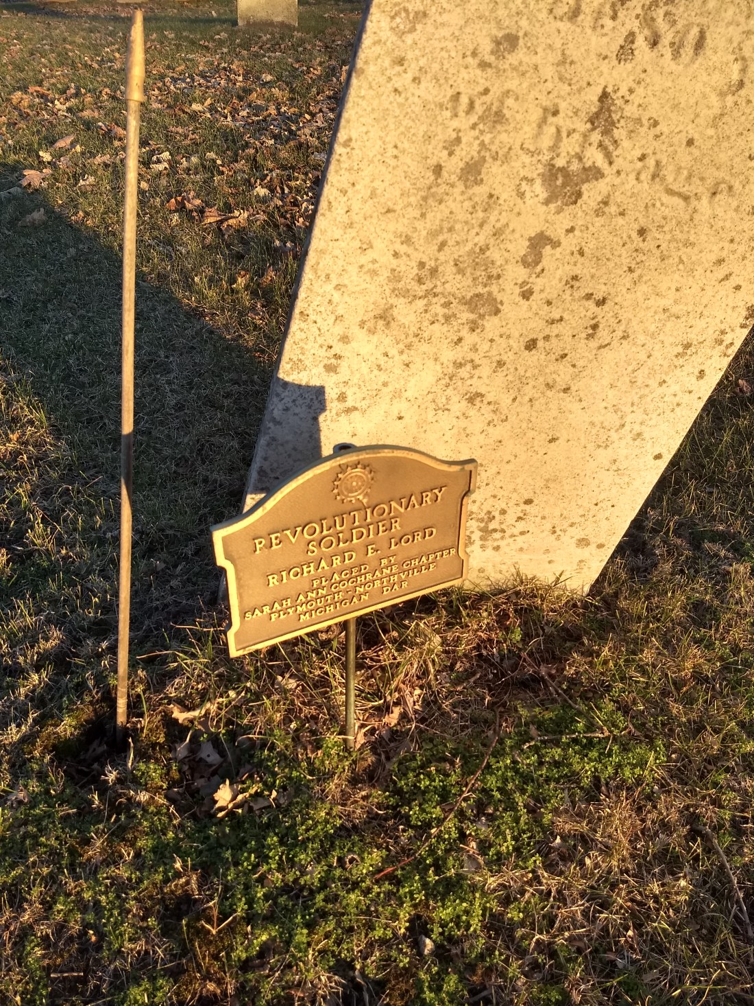
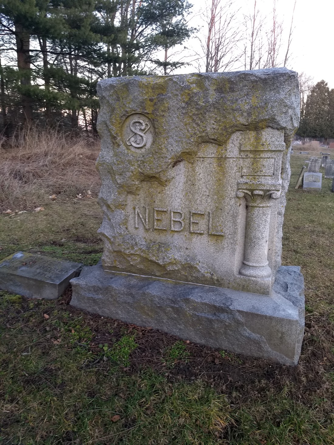
What is left, of course, is Boston Mills Cemetery. This is just a quick walk up Main Street a couple of blocks from the main area of the village. It’s a lovely, small cemetery on a hill, with interments dating back to the early 1800s.
The interesting thing is that in one area of the cemetery, where the graves appear to be some of the oldest, the stones appear to have been subjected to a fire.


A quick search online didn’t show anything of note; perhaps we’d have more luck with a local historical society. If anyone reading this has any information, we’d love to know more!
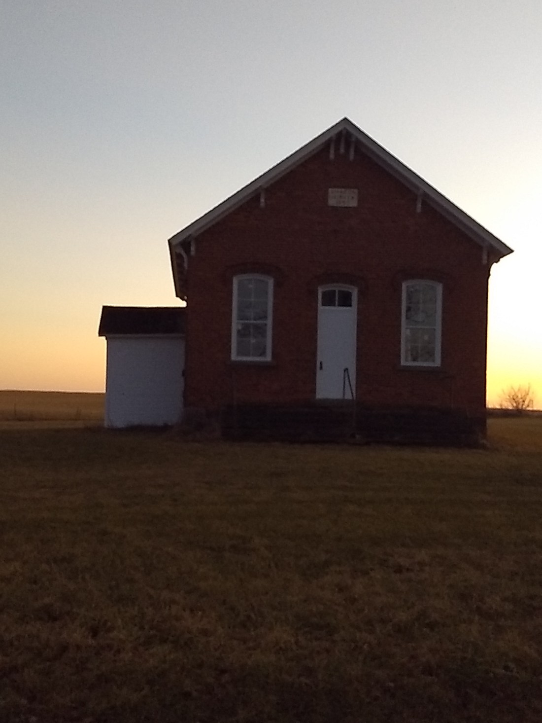
We completed our look-about by stopping at the Stanford House, which is of course on Stanford Road just before the road closes. It’s also aligned with the trail, so visitors can stop, use a port-a-potty, and so forth.
James Stanford was one of the first settlers in the area, surveying the land and being active in local government. He built the farm, and his son assisted him in several business ventures in town, including running a mill. Now the National Park Service owns the property, and it’s available for lodging for both individuals and small groups. We ate our lunch on the picnic tables there and continued east towards our ultimate destination: New York!